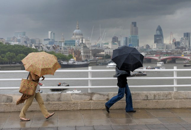
Londoners warned to stockpile food as ‘godzilla’ El Niño could cause ‘polar vortex’
Experts have warned the incoming super El Niño could be one of the most
severe on record. While most commonly
associated with warming Pacific Ocean temperatures, it also may have the effect
of disrupting the Arctic polar vortex, the
winds that circle the North Pole. This
may allow colder air to drift southwards towards into Europe and North America,
potentially bringing blizzard conditions with heavy snow. The effect also ‘heightens the potential’ for wet weather, stormy
conditions and therefore flooding. Met Office forecasters explain that the weakening of the
polar vortex associated with El Niño can cause cold north and north easterly winds
to outcompete the usual warmer North Atlantic drift which influences the UK climate. Dr Will Lang, chief forecaster at the Met
Office, said there had been a ‘subtle shift in the odds’ with windier, colder
weather in the next few weeks far from certain. ‘The El Niño event is still developing in
the tropical Pacific and already it has surpassed the magnitude of previous
events including the one in 2015/16’, Met Office climate spokesperson Grahame
Madge said. ‘Globally, an El Niño
event has several impacts, including altering rainfall patterns and increasing
global temperature overall.’
More broadly, the El Niño event could cause more than 450,000 heat
deaths between June 2026 and February 2027, a concerning report has suggested.

Related News