


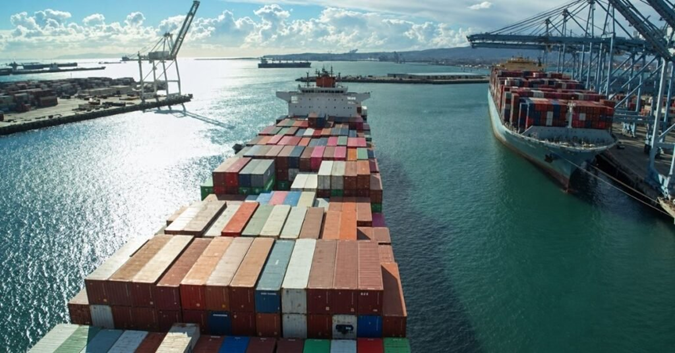
One-tenth of shipping emissions occur in port – UCL study
UCL researchers have built an interactive tracker, mapping 1.2 million
voyages that show island nations carry outsized port emissions. The tracker
draws on a year of data covering voyages by more than 43,000 vessels, UCL said.
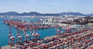
The research found that around 10% of global maritime emissions occur within
port areas. The report noted that the tool offers IMO delegations visibility on
which of 575 million tonnes of CO2e emissions generated by international
shipping can be attributed to their country’s economic activity. Seven out of the ten Caribbean, and eight
out of the ten East Asia Pacific countries with the highest in-port emissions
are small island nations, with emissions often above 20% relative to global and
regional averages, said Yoseph Ismail, research assistant at the UCL Shipping
and Oceans Research Group.
This share could be reduced through port
electrification measures such as cold ironing at berth, switching to battery
power while idling or manoeuvring in port, and converting short-sea vessels to
battery-electric propulsion, UCL said. Shore-to-ship
power, or “cold ironing,” is an electrical power supply provided to ships when
they are docked at ports. Instead of running the engines onboard to power
essential systems while docked, shore power facilities allow ships to connect
to the local electrical grid.
The research comes on the heels of the International Maritime
Organization’s upcoming Net-Zero Framework talks scheduled next week. Future
updates to the tracker, due in September, will provide statistics on
state-level seaborne trade volumes and estimates of the economic impact of
proposed amendments to the IMO NZF framework, ahead of a potential adoption
later this year.
Related News